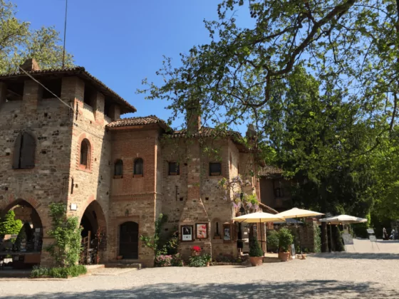
In Piedmont, in the Antigorio valley, an excursion not to be missed is the one through the Ravines of Uriezzo and the Marmitte dei Giganti. A place immersed in a magical atmosphere, with canyons dug by the force of the water that has shaped this beautiful valley for millennia.
In the current Antigorio and Formazza Valley there was in fact the Toce Glacier in whose valley numerous streams and waterfalls flowed. The narrow valleys, tortuous tunnels and gorges that can be visited today were carved out by the melting waters of the glacier, which rushed down into the valley during the last glaciation, around 12,000 years ago. The drying up of the various streams fed by the glaciers left room for a real canyon that can now be visited on foot.
The route is practicable all year round with the exception of the winter months. The best time to visit the Uriezzo Ravines is from the end of March to mid-April, when the wild cherry trees are in bloom. Guided tours are also held in the summer months starting from the Oratory of Santa Lucia.
Uriezzo ravines
The Ravines that can be visited today are:
The Southern Ravine, considered by many to be the most beautiful and spectacular, is approximately 200 m long and 20 to 30 m deep. The path to cross it is not very demanding and in the most difficult sections it has been equipped with metal walkways and stairs. At one end you can see small waterfalls surrounded by thick vegetation and in some passages of the gorge you can't see the sky, elements that make it even more spectacular. To reach the Southern Ravine just follow the mule track, sometimes paved or dug into the living rock, which descends from the Monumental Church of San Gaudenzio towards the Verampio hamlet. At the second crossroads, turn left and follow the path to reach a clearing with a small power station, then go up slightly following the panoramic path protected by barriers which soon leads to the upper entrance of the Southern Ravine.
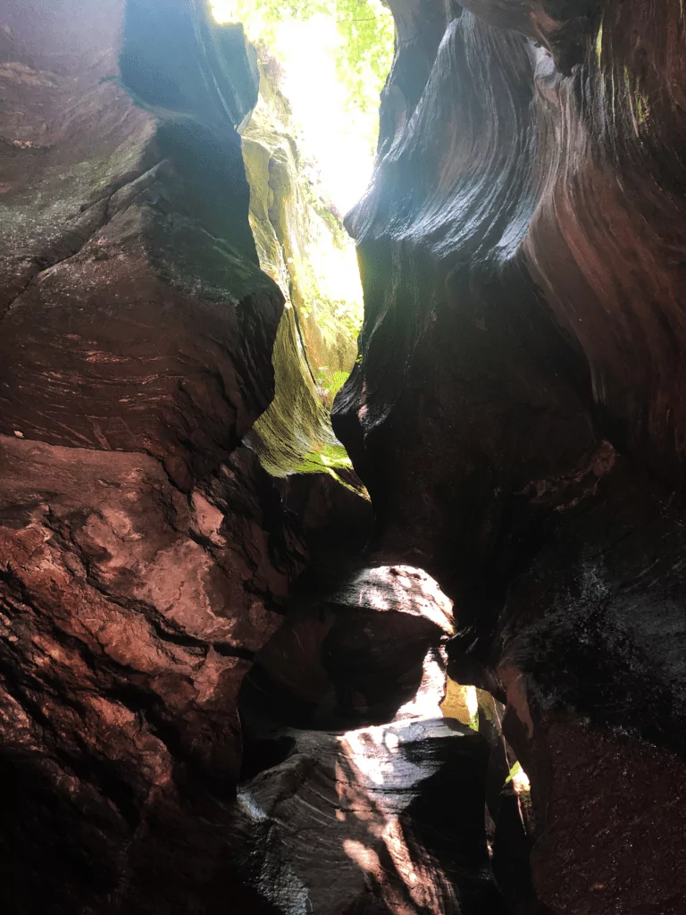
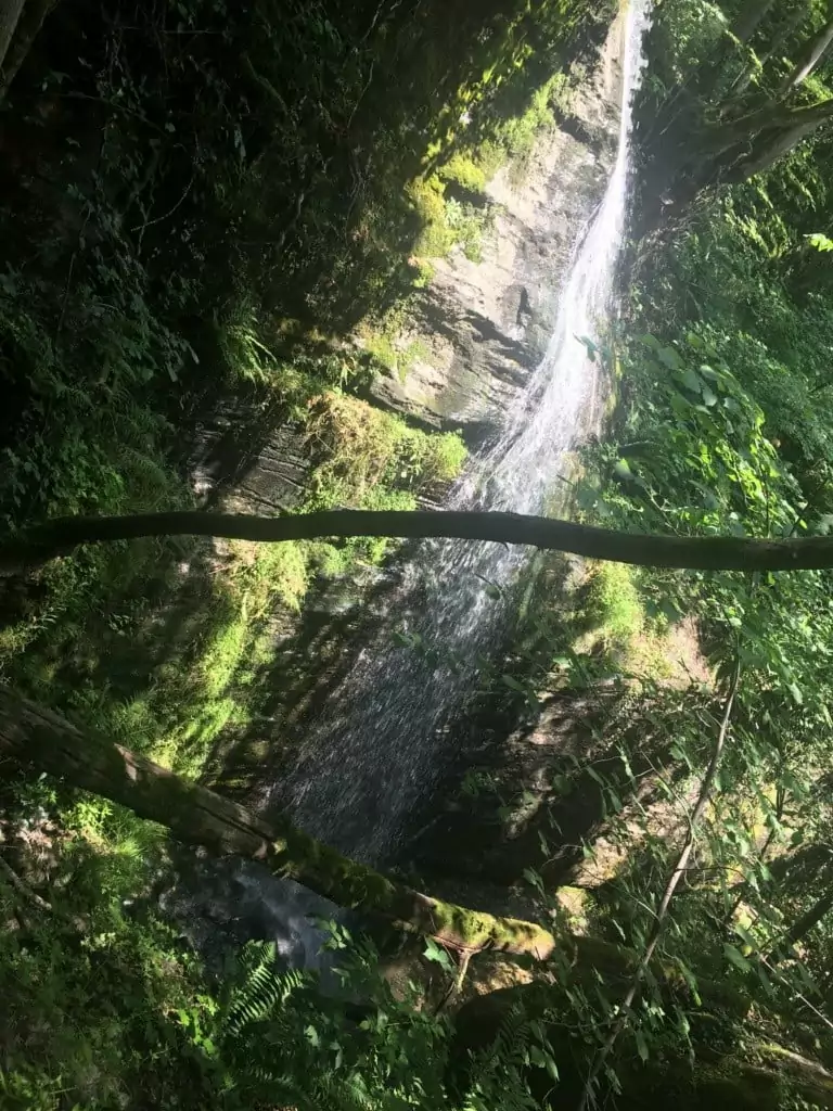
The North-East Ravine, very narrow in some places, is about half the length of the first and 10 meters deep. Located near the Church of Santa Lucia, it can be reached on foot by slightly extending the itinerary, or by car from Premia, passing the imposing Balmafredda wall, equipped as a sports climbing gym.
The Northwest Ravine, less characteristic than the other two and suitable for the more expert, which is located on the side of the mule track that goes from Uriezzo towards the state road between Baceno and Premia.
The Vallaccia Ravine, located just below the Baceno church. It is difficult to access especially for inexperienced hikers and ends with a not very simple leap onto Devero. Among those mentioned, it is certainly the least suitable for a walk for hikers with little preparation.
The Giants' Pots
The "new" Toce flows parallel to the gorges, in another bed, smoothed and rounded by the water. In the Maiesso area, along the visit route, an iron bridge over the river represents an extraordinary observation point on the Potholes of the Giants.
These are spectacular rock formations and craters that the currents and eddies of water, in their swirling flow, have dug into the river bed. The rocks are characterized by soft-looking inlets along the entire course of the Toce river which descends into the valley creating rapids, small waterfalls and bodies of water of a brilliant, crystalline turquoise colour.
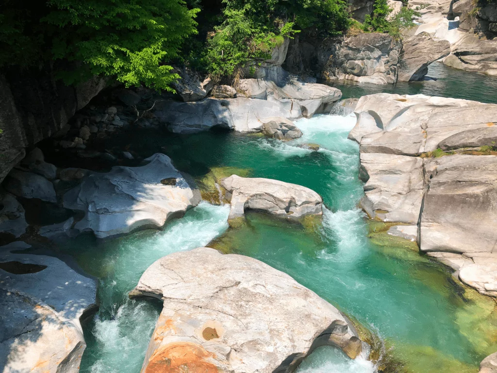
Following the path you can reach a small sand and gravel beach where you can relax, sunbathe and have a picnic. For the more adventurous it is possible to wade into the river (the water is truly freezing) and climb the rocks and find shelter from the sun in small coves in the shade of the dense vegetation.
Just before arriving at the beach there is a very small one agrichiosco “The Ravine” which sells ice cream, yogurt, craft beers and cheeses from local farms (open only on weekends).
Access points
To get to the Uriezzo Ravines there are three access points: Premia (the most recommended access), Baceno and Verampio. The signs on the road allow you to see the access points with “Ingresso Orridi” signs:
From Reward: immediately after the town there is the signposted deviation for Crego and Uriezzo until you reach the Balmafredda wall, used as a sports climbing gym. At the end of the asphalted road, near the oratory of Santa Lucia, it is possible to leave the car and continue on foot following the hiking signs.
From Baceno: follow the mule track partly paved and partly carved into the rock which from the monumental church of San Gaudenzio descends to the Verampio hamlet. Once you reach the crossroads marked by hiking arrows, taking the path on the left you cross a flat area of terraced woodland and descend until you meet the service path to the methane pipeline in the section that runs parallel to the Southern Ravine.
From Verampio: we start from the Trattoria della Campagna. Follow the service path to the methane pipeline that crosses the Devero Torrent and runs more or less parallel to the course of the Toce up to the height of the Maiesso wooden bridge, from which you can enjoy a fascinating view of the giants' potholes. Shortly after the road makes a bend and continues on level ground. Immediately after crossing a stream, you leave the tractor track (signposted crossroads) and continue along an easy path which, alternating flat sections with steeper sections, leads to the entrance to the southern ravine.
How to get
Take the A26 motorway in the direction of Gravellona Toce; follow the SS 33 Gravellona Toce/Sempione until the Crodo exit. From here follow the SS 659 of Valle Antigorio Formazza and after crossing Reward follow the signs for the entrance near the Oratory of Santa Lucia. Continuing you reach up to Baceno where there is another access to the Ravines.


